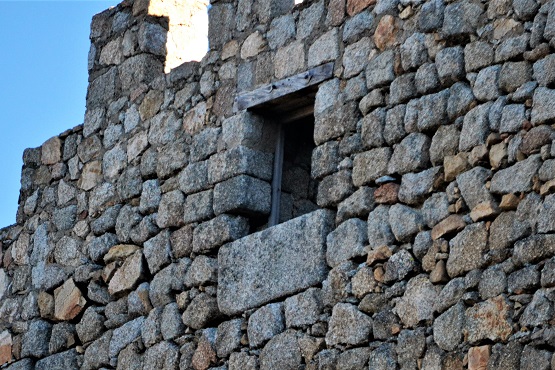
8/2/21

Castle of Auqueospese (Ávila)

East view of the castle


The castle is located on the crags of the foothills of the Sierra de la Paramera, overlooking the Amblés valley. It has an fitful shape and blends in with the rocks where it sits. It is mentioned in documents from the 11th and 12th centuries making reference to war and reconquest expeditions against the Arabs, being the Dávila lineage who rebuilt the current castle during the 13th century as a result of the battle of Las Navas de Tolosa. It is also known as the castle of the Risco or castle of Manqueospese.


East main facade


Entrance bulwark on the eastern side

Entrance gate


Heraldic shield of the Dávila family over the entrance door

North expanse between the outer barbican and the main enclosure


North tower of the indoor enclosure


South expanse between the outer barbican and the main enclosure


Battlements on the eastern canvas of the south outer wall


Indoor view of one of the embrasure of the outer wall


South wall of the indoor enclosure


East tower of the indoor enclosure


Main facade of the indoor enclosure


Cylindrical checkpoint about stepped corbels


Eastern view of the homage tower


Entrance door to the indoor enclosure of the castle


Eastern area of the parade ground in the indoor enclosure


Western area of the parade ground

South wall of the indoor enclosure


Western canvas of the south wall


Homage tower


Access to the homage tower


Battlements of the west wall


Access to the latrines on the west wall


Exit door of the indoor enclosure


Exit access of the castle


South-east view of the castle


Canvas of the south-east outer wall


Remains of a barbican on the outer wall


South canvas of the barbican


South view of the castle


South outer wall


Detail of embrasures in the outer wall


Battlements of the western canvas of the south outer wall

Detail of the rocks on which the castle sits

South-west view of the castle


The valley of Amblés seen from the castle


West wall


Outhouse on the west wall


Structure of a window in the walls


North-west view of the castle


Various windows in the north-west corner of the wall


North wall


Eastern canvas of the north wall


Postern on the north wall


North tower


Western canvas of the north wall


North-east view of the castle


Panoramic of the castle from the town of Sotalbo


Mironcillo

View of the town and the castle from the banks of the Fortes river


Mironcillo is a municipality in the province of Ávila in the Autonomous Community of Castilla y León. It belongs to the Valle del Amblés region and part of its territory is included in the natural area of the Sierras de la Paramera and la Serrota. The municipality is bathed by the Garganta river, which rises near Zapatero peak (2,146 meters) and runs from south to north.